Rapid Editor
🌐🗺️ Enhance your mapping experience with Rapid Editor! 🚀 Leverage AI for quick feature identification, satellite imagery analysis, and collaborative mapping projects worldwide. 🌍💡 Join the community and revolutionize your mapping efforts today! #AITool #Mapping #RapidEditor
- Rapid integrates advanced mapping tools with authoritative geospatial open data to enhance map editing efficiency.
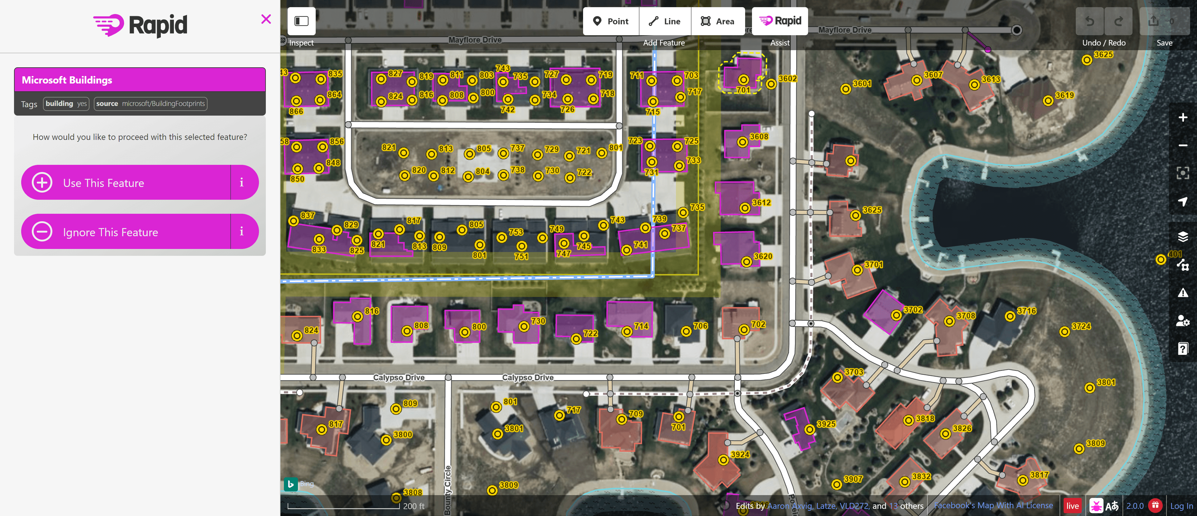
- The Rapid editor leverages AI to identify and predict features, streamlining the map geometry creation process.
- AI-analyzed satellite imagery provides a comprehensive view of unmapped areas worldwide for better mapping.
- Rapid facilitates mapping projects by displaying open map data and AI detections on its user-friendly interface.
- Humanitarian and community groups collaborate with Rapid to support mapping initiatives globally.
- Stay connected with the Rapid and OSM community by joining various channels like Facebook, Twitter, and Github.
- Partnerships include OpenStreetMap, HOTOSM, Esri, and other supportive communities.